
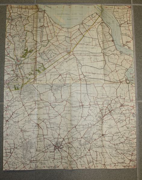
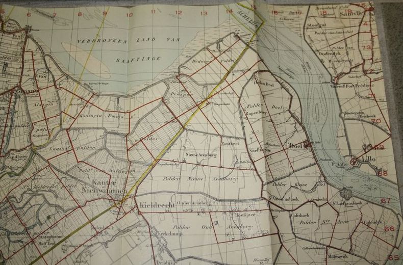
WW2 Dutch map of West Hulst
This is a paper map that measures about 35 x 40 cm ( about 14 x 16 inches).
Shown is the area North of Anwerp, Belgium.
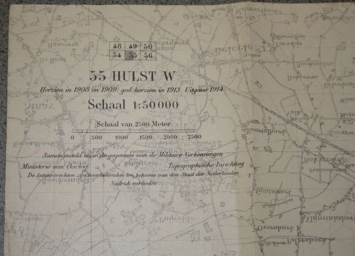
However, the map belongs to a set of Dutch maps.
Hulst is located on the left North side of Antwerp and the map is named “West Hulst” ( West-Hulst) to indicate the area.
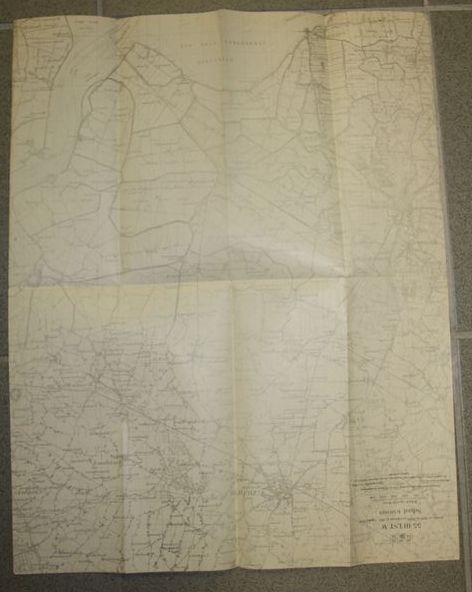
Beautiful marked on the back with map specifications.
Scale is 1/50.000.
It was issued in 1914.
Map is in used condition, but still very interesting because of the covered area.
Used by the Dutch Army during 1940, but issued during WW1.
€15,00
Availability: 1 in stock