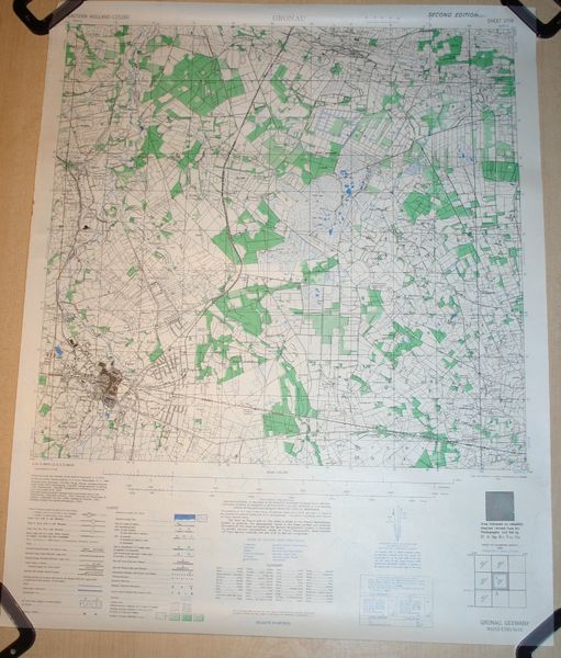
U.S. WW2 dated roadmap “Gronau” > Seelöwe
Around 2007 I was able to acquire a lot of WW2 U.S. maps as part of a trade.
Some are from Belgium, some from Germany, but most are from Holland ( The Netherlands ).
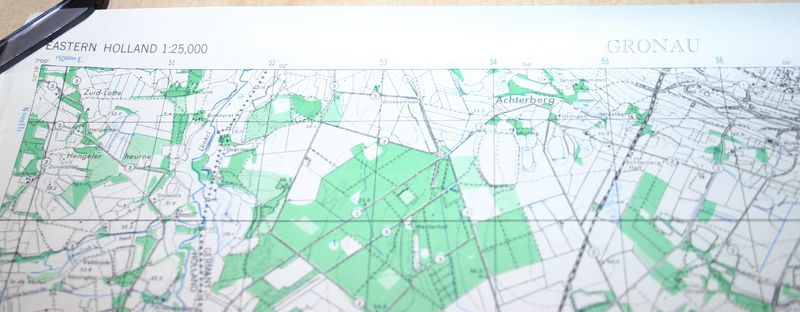
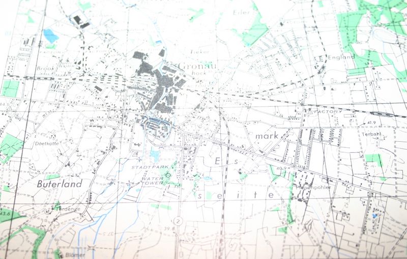
All are scale 1 to 25.000.
This means that they are on a scale that even buildings, sand roads, ditches and other small details are displayed.
Most maps are 50 x 62 centimeters ( about 1.7 x 2.07 feet ) each.
Some are a bit bigger.
Listed are only just a few maps, but if you are looking for a specific area, mail me and I will see if I have it.
Scale: 1:25.000
Description:
Map of “Gronau” in Germany.
Located in the east of Enschede ( Holland).
Map is dated 1944
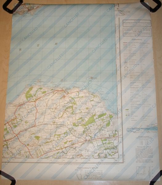
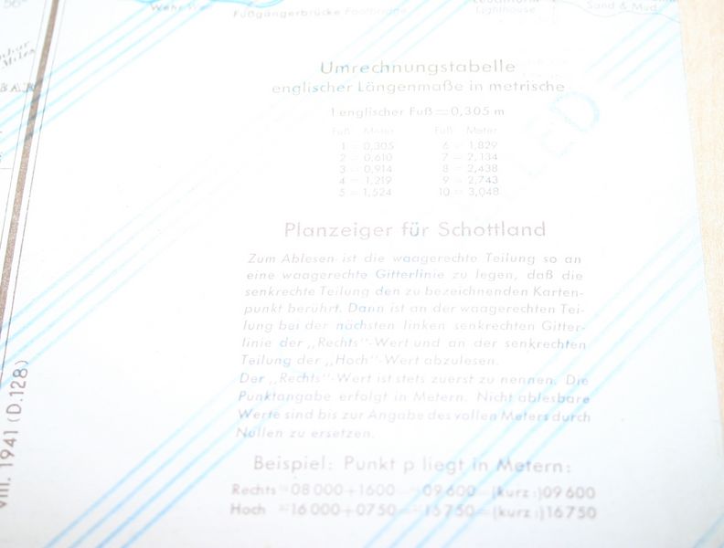
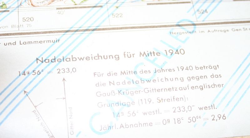
On the back there is an other map!
Interesting is that this is a part of Scotland with German text!!!!
These maps were meant for the German operation “Seelöwe”.
That was the operation were Hitler wanted to invade the United Kingdom.
Probably these maps were captured in France and re-used to print the maps needed on the back.
Condition: perfect
€25,00
Availability: 1 in stock

