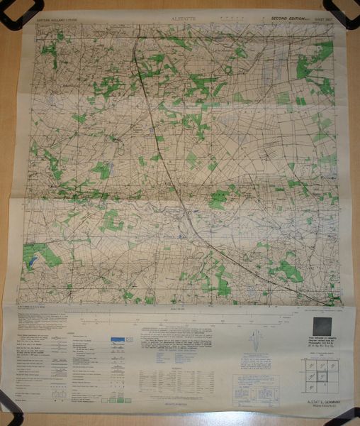
U.S. WW2 dated roadmap “Alstatte”
Around 2007 I was able to acquire a lot of WW2 U.S. maps as part of a trade.
Some are from Belgium, some from Germany, but most are from Holland ( The Netherlands ).
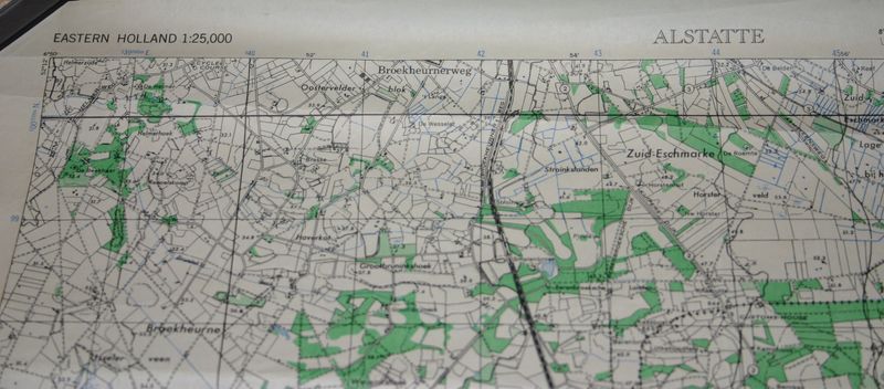
All are scale 1 to 25.000.
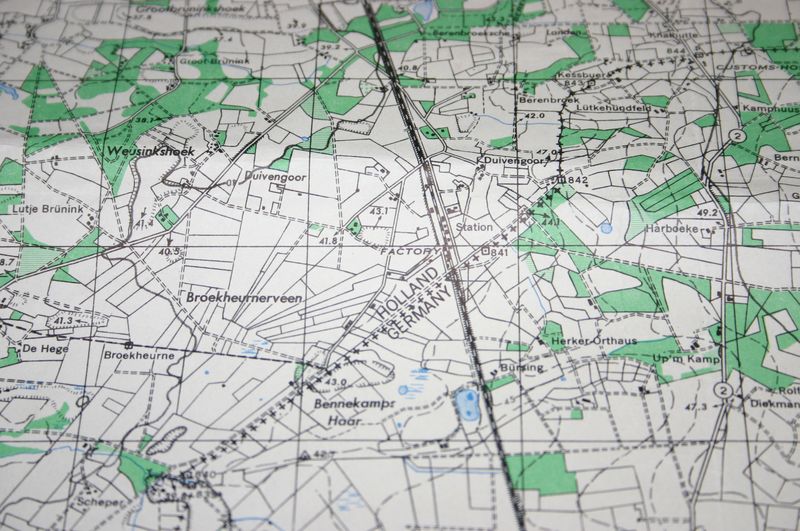
This means that they are on a scale that even buildings, sand roads, ditches and other small details are displayed.
Most maps are 50 x 62 centimeters ( about 1.7 x 2.07 feet ) each.
Some are a bit bigger.
Listed are only just a few maps, but if you are looking for a specific area, mail me and I will see if I have it.
Scale: 1:25.000
Description:
Map of “Alstatte” in Germany.
Located in the east of Haaksbergen ( Holland) and south Enschede (Holland).
You can see the Dutch / German border.
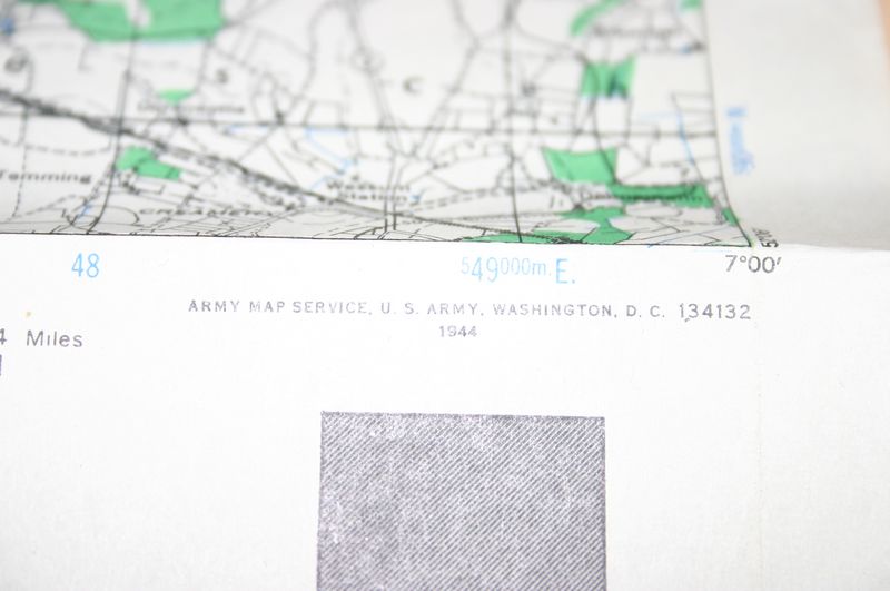
Map is dated 1944
Condition: perfect / some folds, but not sharp
€20,00
Availability: 1 in stock


